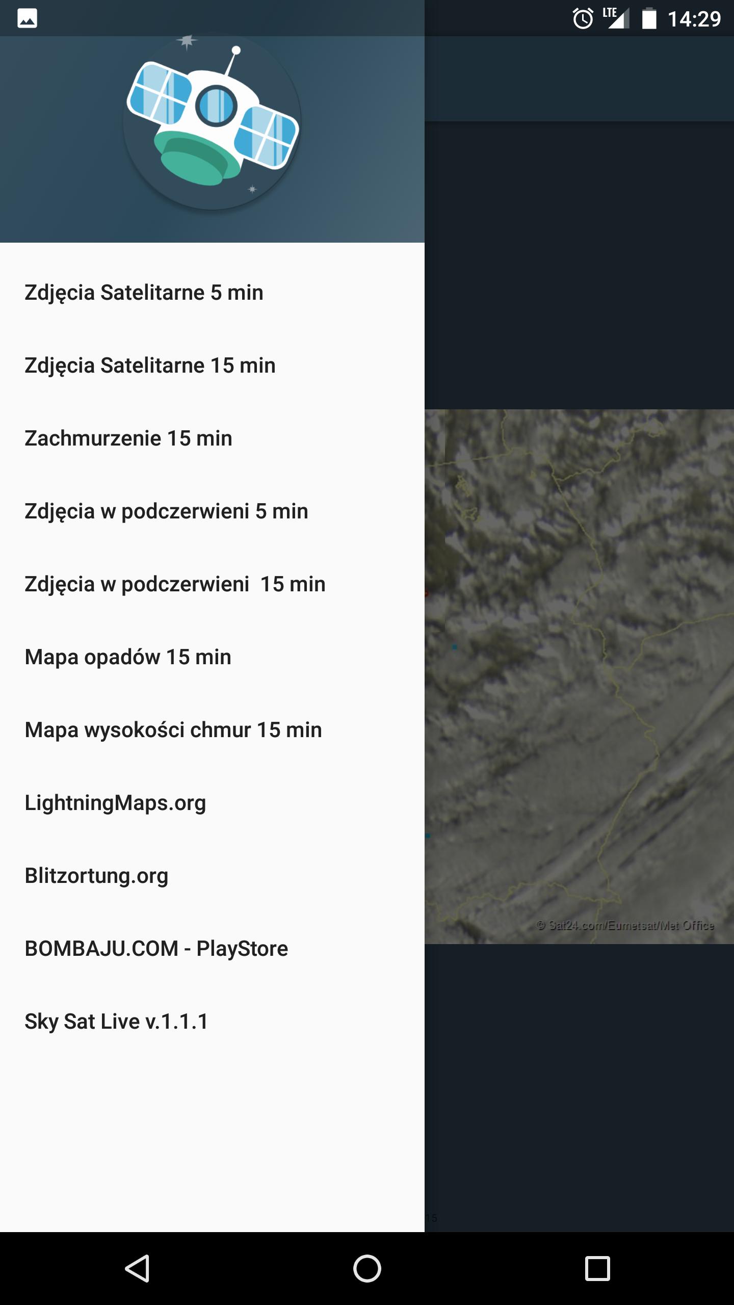
Sky Sat Live -
Satellite Images of the Parties Sat24.com, Lightningmaps.org, Blitzortung.org
The application displays animation created from current meteorological maps and satellite photos from SAT24.com and Lightningmaps.otg and Blitzortung.org
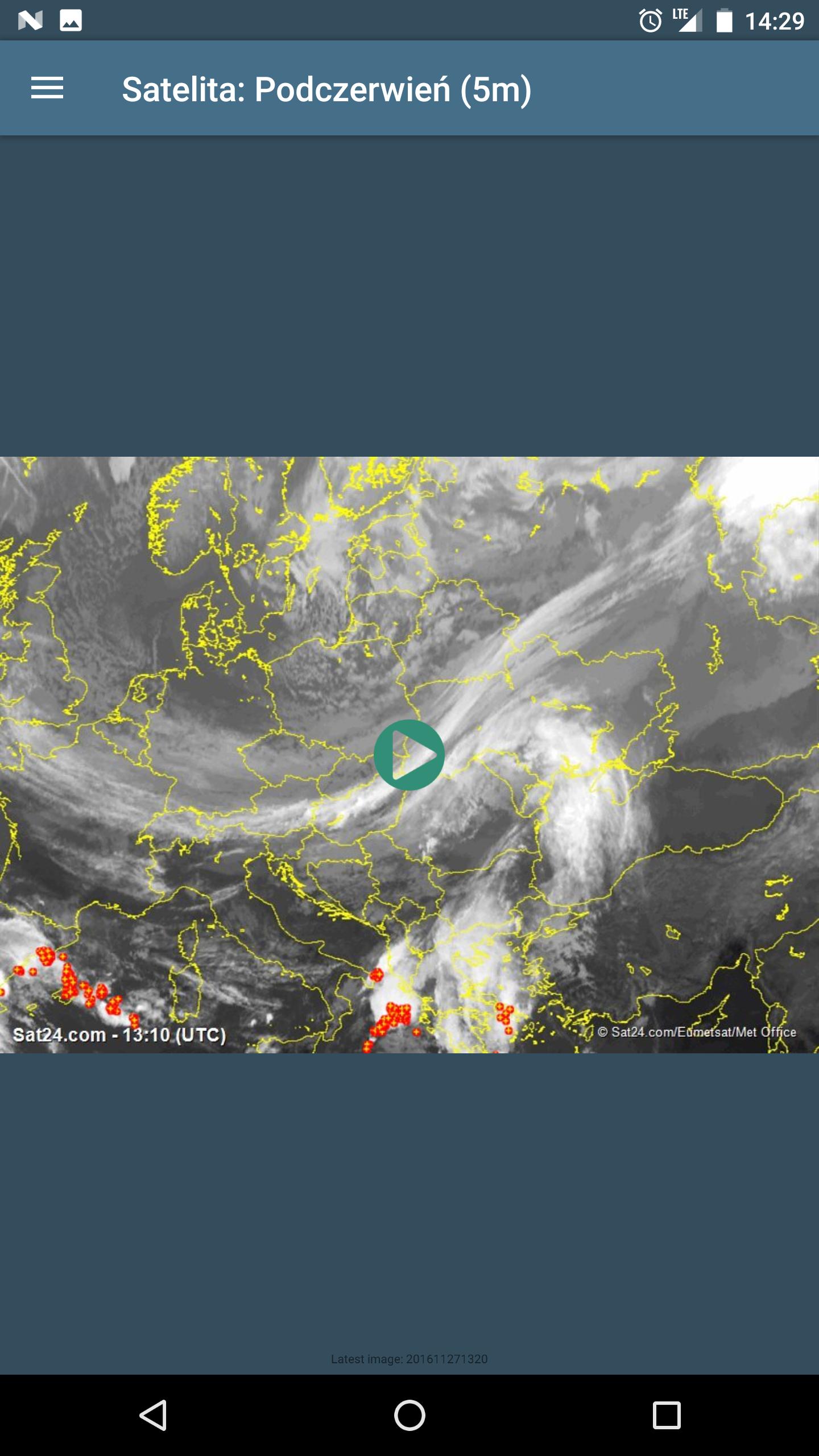
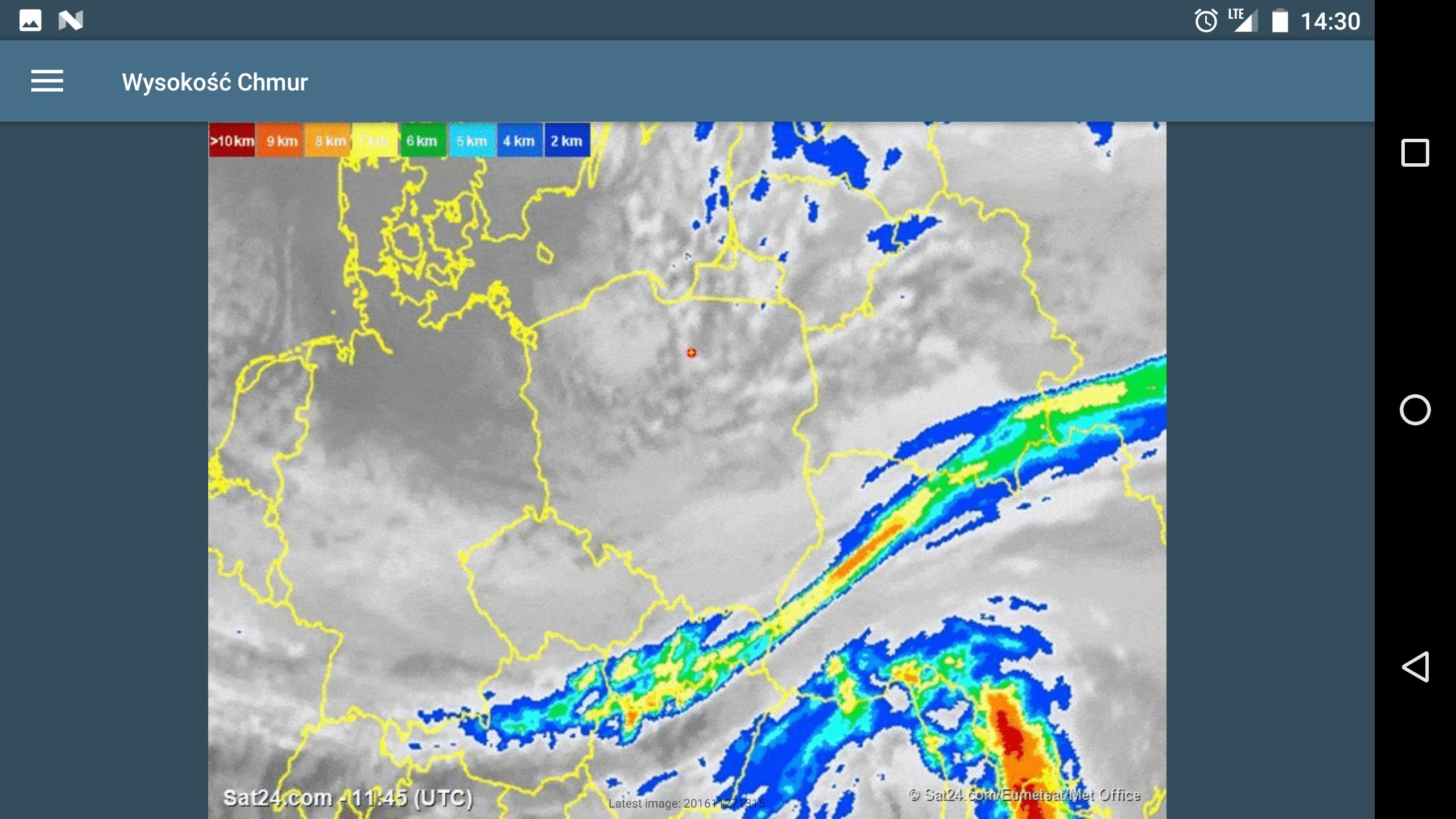
In the application in the form of animation, there are: satellite maps (photos), infrared satellite maps. Rainfall map, cloud height map, discharge maps from lightningmaps.org and blitzortung.org. The animation from the last 3 hours is displayed with a delay of 5-15 minutes. This is due to the frequency of data sharing on websites.
I am an independent creator of the application, I am not related to SAT24.com websites, lightningmaps.org, blitzortung.org, the data used is available free of charge to the abovementioned websites.