Prakiraan Pasut -
Info Tide Forecasts Presented in the Form of Graphs and Tabular Data 14 Days.
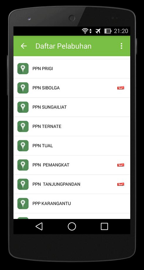
Tidal forecast information (tidal) at the Fisheries Port has been developed since 2011 by the Laboratory of Sea and Coastal Data Laboratory, Marine Research Center (Pusriskel), Research and Human Resources Agency (BRSDM) of the Ministry of Maritime Affairs & Fisheries. Originally the forecast information was only carried out based on 18 fishing ports and sent directly to the Fisheries Port Administrator. Since mid -2012, the information Prakiraan Pasut has been disseminated to the public through the website www.pusriskel.litbang.kkp.go.id. In 2015, further dissemination development was carried out through information technology -based applications on Android ecosystems for 21 Fisheries Ports scattered in the Fisheries Management Area (WPP). Then in November 2015 to support the Smart Fishermen Information System (SINP), Prakiraan Pasut the addition of 13 fishing ports was carried out. From the Cyber Extention meeting in mid -March 2016 in Bali, there were from agricultural instructors asking for tire predictions in the cultivation area/fish ponds around Pinrang, South Sulawesi so that at the end of March 2016 1 Prakiraan Pasut station was added in the PI Ujung Lero area. Forecasts in this area are used to determine the tide and receding time used as a referral for fish/shrimp pond farmers to fill the water media ponds (at high tide) and clean/dispose of pond water (at low tide). At the end of March 2016, 1 forecast station was also added in the Yogyakarta area, namely in PPP Sadeng which was a request from the Maritime Affairs and Fisheries Office of the Yogyakarta Special Region (DIY) in accordance with the meeting on June 1, 2015. So that the total is currently 36 Fisheries Ports.
Prakiraan Pasut information is presented in the form of graphs and table data for the next 14 days, with temporal resolution per hour with updating (updates) of information per 14 days. This Prakiraan Pasut info is the result of forecasting using 11 harmonic components, namely 4 semidiurnal components (M2, S2, N2, K2), 4 diurnal components (K1, O1, P1, Q1), and 3 components derivatives of Semidiurnal (MF, MM, M4). All of these components are derivatives of the Altimetry Topex/Poseidon satellite data (Egbert & Erofeeva, 2002). Forecasting was carried out on the coordinates of the fishing port coordinates managed by the Directorate General of Capture Fisheries, the Ministry of Maritime Affairs and Fisheries of the Republic of Indonesia (DGCF, 2009). While verification of forecasting results to measurement/observation data has been carried out with quite satisfying results (Ramdhan, 2011; Pranowo & Wirasantosa, 2011).