Helgoland -
Helgoland as a free app for Android (www. Helgoland -app.de)
Helgoland as an app free for Android (www. Helgoland -app.de) -GPS -controlled Germany's only deep lake island with full text search and circuit list ...
If you are interested in presenting yourself in the Helgoland app with advertising (Banner or similar), please contact us by email to [email protected].
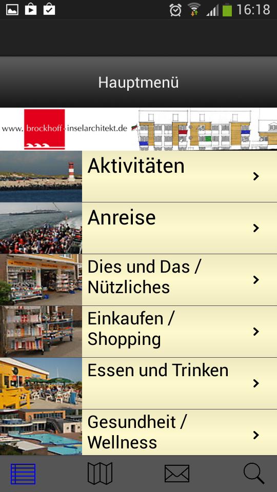
The Helgoland island app with Android support shows you GPS-controlled information about the following 8 categories:
Activities, arrival, this and the / useful, shopping / shopping, eating and drinking, health / wellness, sights and overnight stays (on Helgoland and the neighboring dune).
If you allow Helgoland to use your current location, you can see your Android Phone (+ PAD), no matter where you are, by means of card navigation (with Google Maps), where there is something near you. For example, it is easy to find out where you can find restaurants on Germany's only heel island (or on the neighboring dune), where there are accommodation in hotels, where visitors can buy duty -free or what sights can be discovered on the island.
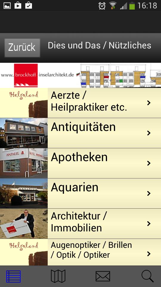
Within the app you will find all addresses according to the advertising customers (with detailed descriptions and photos) alphabetically, clearly sorted by AZ.
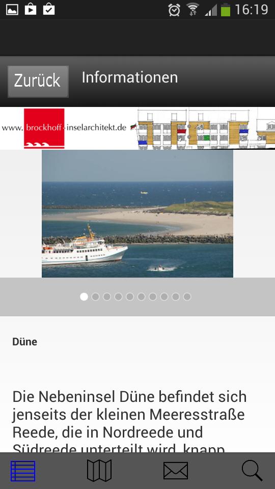
General information about Helgoland and the dune:
Helgoland - VAT -free shopping paradise and versatile holiday and experience island, spa and spa location and spa - is located in the middle of the North Sea, about 70 km from the German coast, and is Germany's only island of heel. Around 1,400 islanders are at home here. The red colored sandstone with its impressive cliffs protrudes from the sea up to 61 m.
The main island of Helgoland (approx. 1 km² in size) is divided into the Oberland, the Mittelland and the lowlands. It has a small sand bathing beach in the south next to the Landungsbrücke and falls in the north, west and southwest in steep cliffs a good 50 meters to the sea, which is up to 56 m deep in the Helgoland basin in the southwestern. The beach in the north is not suitable for swimming due to the strong current. At the northwest end of the main island is the most famous landmark Helgoland S - The Lange Anna. At 61.3 m, the Pinneberg, which is located in the Oberland and can only be reached via a trail, is the highest elevation of the island.
Right next to it is the flat neighboring island, the "dune" (approx. 0.7 km²), with its wonderful sandy beaches, which with the "main island" Helgoland belongs to the Pinneberg district in Schleswig-Holstein.
The technical implementation of the Helgoland /Insel app was created by Michael Gruczel and Lars Franke-Pro, Kornpatt 3, D-33334 Gütersloh, Tel: 05241/460915, Fax.: 05241/402199, Mail: [email protected], Homepage: www.larsfranke-pro.de
Do you have any questions about the technology then please write to [email protected]