Fluvial Maps Free -
Help River Navigation! Maps, News, ...
Fluvial Maps Free is a verse of demonstration of rivermaps,
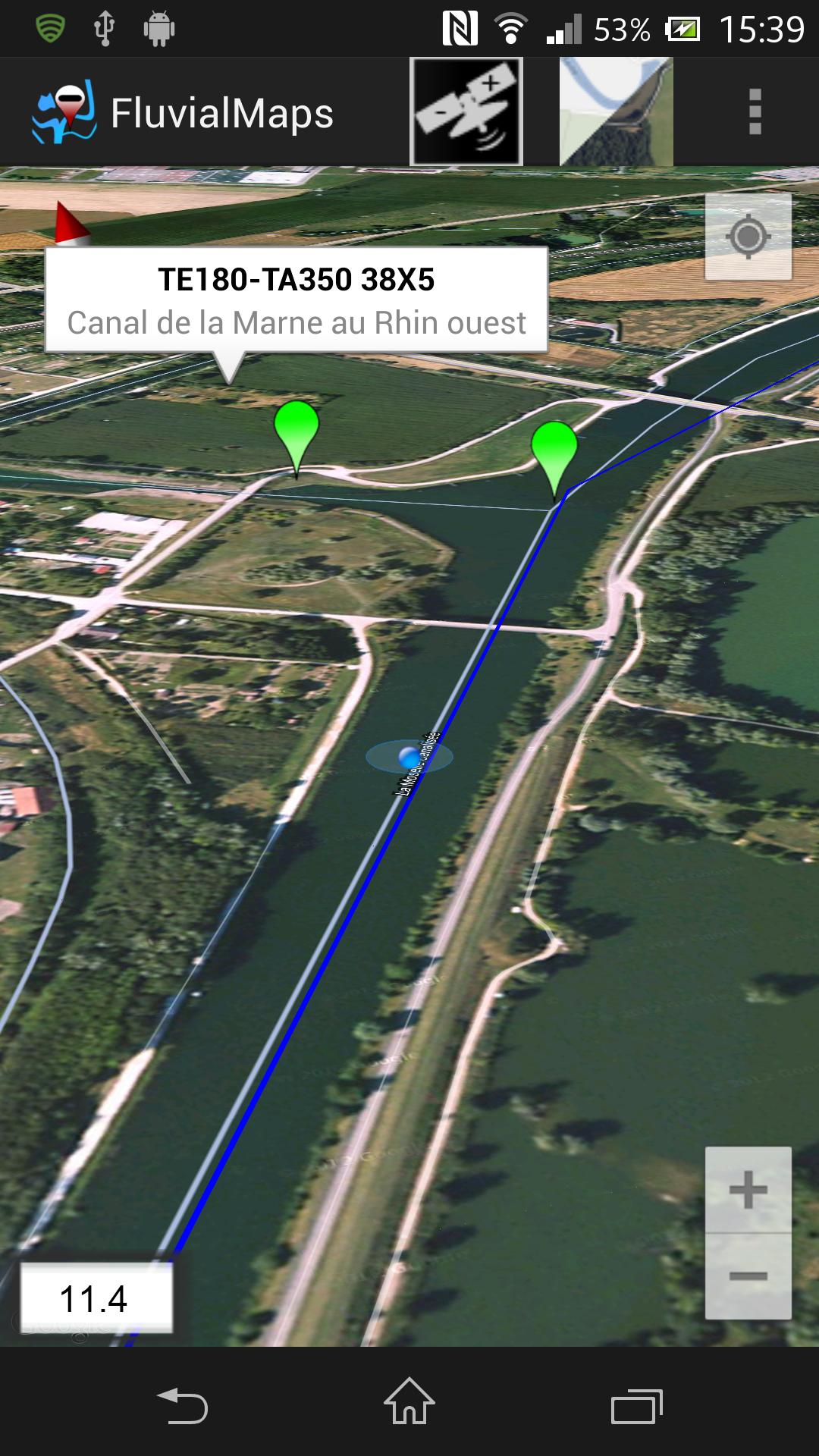
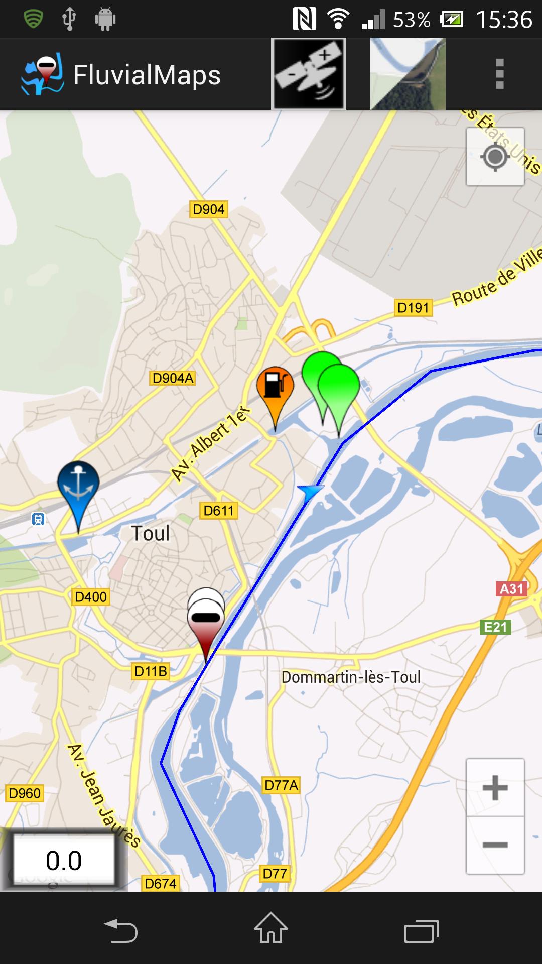
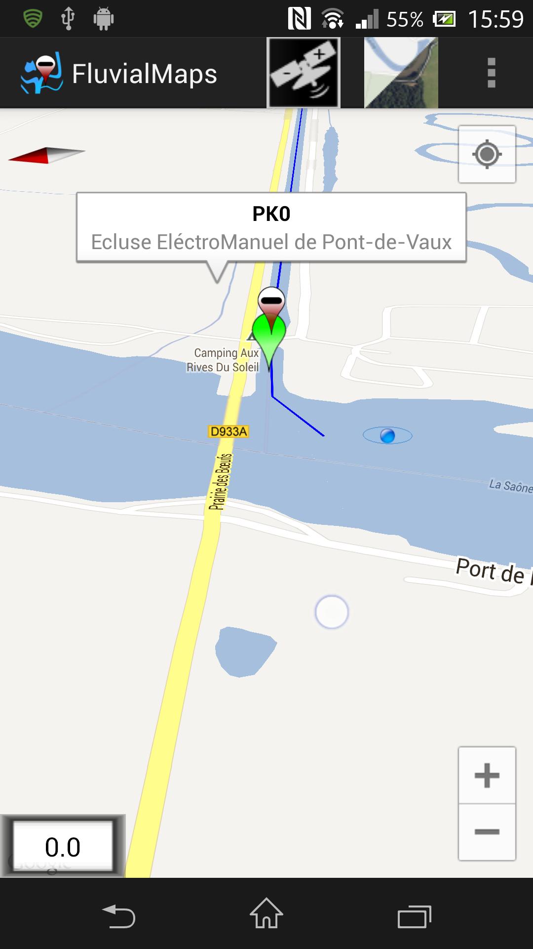
Fluvialmaps provides you with card networks and points of interest close to GPS.
You can navigate in France and "river" interior Belgium in the best conditions.:
Ports, locks, waters, tunnels and other indication points are available on networks.
The ship's position will be displayed by a blue point as well as its speed.
Raw and swinging tools are integrated.
Fluvial Maps Free is available in 3 languages.: Fr - in - nl
Fluvialmaps uses the Googlemaps, GMS library and recommends an Android tablet or a recent Android phone, consult the compatibility list, 512m RAM required.
May require the following services:
https://play.google.com/store/apps/details?id=com.google.android.gms
https://play.google.com/store/apps/details?id=com.google.android.apps.maps
What's New in the latest version 4.10.a
Last updated on jun 16, 2017 New Navigation MapFirst start slow, up to 2 min.
New navigation card
First slow start,
Up to 2 min